python+cartodb+ExifRead python打造自己的小数据照片地图
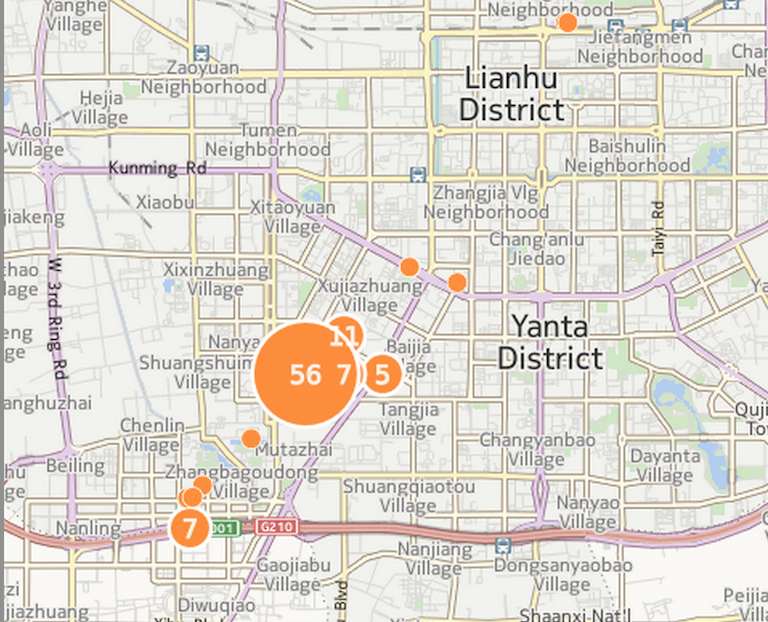
最后效果可参见
EXIF
可交换图像文件常被简称为EXIF(Exchangeable image file format),是专门为数码相机的照片设定的,可以记录数码照片的属性信息和拍摄数据。
EXIF信息以0xFFE1作为开头标记,后两个字节表示EXIF信息的长度。所以EXIF信息最大为64 kB,而内部采用TIFF格式。
ExifRead
来自官方的简述
Python library to extract EXIF data from tiff and jpeg files.
ExifRead安装
pip install exifreadExifRead Exif.py
官方写了一个exif.py的command可直接查看照片信息
EXIF.py images.jpgCartoDB
简介
Create dynamic maps, analyze and build location aware and geospatial applications with your data using the power using the power of PostGIS in the cloud.
简单的来说,就是我们可以创建包含位置信息的内容到上面去。
打造自己的照片地图
主要步骤如下
- 需要遍历自己的全部图片文件,
- 解析照片信息
- 生成地理信息文件
- 上传到cartodb
python 遍历文件
代码如下,来自于《python cookbook》
import os, fnmatch
def all_files(root, patterns='*', single_level=False, yield_folders=False):
    patterns = patterns.split(';')
    for path, subdirs, files in os.walk(root):
        if yield_folders:
            files.extend(subdirs)
        files.sort()
        for name in files:
            for pattern in patterns:
                if fnmatch.fnmatch(name, pattern):
                    yield os.path.join(path, name)
                    break
                if single_level:
                    break
python 解析照片信息
由于直接从照片中提取的信息是
[34, 12, 51513/1000]也就是
N 34� 13' 12.718几度几分几秒的形式,我们需要转换为
34.2143091667具体的大致就是
def parse_gps(titude):
    first_number = titude.split(',')[0]
    second_number = titude.split(',')[1]
    third_number = titude.split(',')[2]
    third_number_parent = third_number.split('/')[0]
    third_number_child = third_number.split('/')[1]
    third_number_result = float(third_number_parent) / float(third_number_child)
    return float(first_number) + float(second_number)/60 + third_number_result/3600
也就是我们需要将second/60,还有minutes/3600。
python 提取照片信息生成文件
import json
import exifread
import os, fnmatch
from exifread.tags import DEFAULT_STOP_TAG, FIELD_TYPES
from exifread import process_file, __version__

def all_files(root, patterns='*', single_level=False, yield_folders=False):
    patterns = patterns.split(';')
    for path, subdirs, files in os.walk(root):
        if yield_folders:
            files.extend(subdirs)
        files.sort()
        for name in files:
            for pattern in patterns:
                if fnmatch.fnmatch(name, pattern):
                    yield os.path.join(path, name)
                    break
                if single_level:
                    break

def parse_gps(titude):
    first_number = titude.split(',')[0]
    second_number = titude.split(',')[1]
    third_number = titude.split(',')[2]
    third_number_parent = third_number.split('/')[0]
    third_number_child = third_number.split('/')[1]
    third_number_result = float(third_number_parent) / float(third_number_child)
    return float(first_number) + float(second_number)/60 + third_number_result/3600

jsonFile = open("gps.geojson", "w")
jsonFile.writelines('{\n"type": "FeatureCollection","features": [\n')

def write_data(paths):
    index = 1
    for path in all_files('./' + paths, '*.jpg'):
        f = open(path[2:], 'rb')
        tags = exifread.process_file(f)
        # jsonFile.writelines('"type": "Feature","properties": {"cartodb_id":"'+str(index)+'"},"geometry": {"type": "Point","coordinates": [')
        latitude = tags['GPS GPSLatitude'].printable[1:-1]
        longitude = tags['GPS GPSLongitude'].printable[1:-1]
        print latitude
        print parse_gps(latitude)
        # print tags['GPS GPSLongitudeRef']
        # print tags['GPS GPSLatitudeRef']
        jsonFile.writelines('{"type": "Feature","properties": {"cartodb_id":"' + str(index) + '"')
        jsonFile.writelines(',"OS":"' + str(tags['Image Software']) + '","Model":"' + str(tags['Image Model']) + '","Picture":"'+str(path[7:])+'"')
        jsonFile.writelines('},"geometry": {"type": "Point","coordinates": [' + str(parse_gps(longitude)) + ',' + str(
            parse_gps(latitude)) + ']}},\n')
        index += 1

write_data('imgs')

jsonFile.writelines(']}\n')
jsonFile.close()最终代码可见python cartodb
上传到cartodb
或许您还需要下面的文章:
围观我的Github Idea墙, 也许,你会遇到心仪的项目
comment
- 构建演进式 AI 辅助编码,融合 DevOps 规范和实践
- 可执行单元校验:在 IDE 中提升 AI 智能体代码的准确性
- 在 IDE 中构建 AutoDev AI 编程开发智能体框架与 AI 智能体语言?
- AutoDev DevIns —— 开源 AI 智能体语言,构建 AI 驱动的自动编程
- 如何构建全流程辅助的 AI4EE 能力:从 Team AI 到企业级 AI 辅助研发的思考?
- AutoDev 自定义 Agent:快速接入内部 AI Agent,构建 IDE 即 AI 辅助研发中心
- 2024 年 AI 辅助研发趋势预测:从研发数字化到 AI + 开发工具 2.0,不止于 Copilot
- 在 GitHub Action 上构建 HarmonyOS 应用
- AutoDev 1.6.4:借助生成式 AI 提升 HarmonyOS 应用开发体验
- 生成式 AI 辅助遗留系统改造:工具设计篇
 Engineer, Consultant, Writer, Designer
ThoughtWorks 技术专家
工程师 / 咨询师 / 作家 / 设计学徒
开源深度爱好者
出版有《前端架构:从入门到微前端》、《自己动手设计物联网》、《全栈应用开发:精益实践》
联系我: h@phodal.com
微信公众号: 最新技术分享

- opensuse (10)
- django (41)
- arduino (10)
- thoughtworks (18)
- centos (9)
- nginx (18)
- java (10)
- SEO (9)
- iot (47)
- iot system (12)
- RESTful (23)
- refactor (17)
- python (47)
- mezzanine (15)
- test (11)
- design (16)
- linux (14)
- tdd (12)
- ruby (14)
- github (24)
- git (10)
- javascript (52)
- android (36)
- jquery (18)
- rework (13)
- markdown (10)
- nodejs (24)
- google (8)
- code (9)
- macos (9)
- node (11)
- think (8)
- beageek (8)
- underscore (14)
- ux (8)
- microservices (10)
- rethink (9)
- architecture (37)
- backbone (19)
- mustache (9)
- requirejs (11)
- CoAP (21)
- aws (10)
- dsl (9)
- ionic (25)
- Cordova (21)
- angular (16)
- react (14)
- ddd (9)
- summary (9)
- growth (10)
- frontend (14)
- react native (8)
- serverless (32)
- rust (9)
- llm (8)